


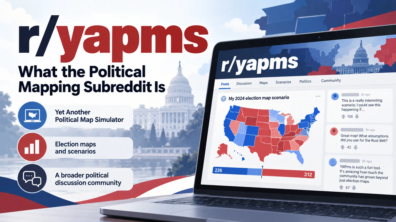
r/YAPms is a Reddit community centered on election maps, political predictions, polling discussions, electoral history, and the mapping tool YAPms, short for Yet Another Political Map Simulator. Although the subreddit began around political map creation, it now functions more broadly as a discussion space for people interested in elections and electoral geography.
The community remains closely associated with YAPms, an interactive mapping platform that lets users color electoral regions, construct hypothetical results, study historical elections, share maps, and experiment with political scenarios. The current subreddit also contains news discussions, polls, memes, prediction contests, historical analysis, and debates about electoral trends.

What Does r/yapms Mean?
The name comes directly from YAPms, which officially stands for Yet Another Political Map Simulator. The project’s public GitHub repository uses that full name and identifies YAPms as the software behind YAPms.com.
The r/ portion simply indicates a Reddit community, making r/yapms the subreddit associated historically and culturally with people who use or discuss YAPms.
Early community activity was much more tightly focused on creating election maps. Long-time users have described finding the subreddit through the YAPms website itself, while later discussions indicate that the community gradually expanded into a wider political forum. These recollections are user accounts rather than an official history, but the shift is also visible in the subjects of newer posts.
What Is YAPms?
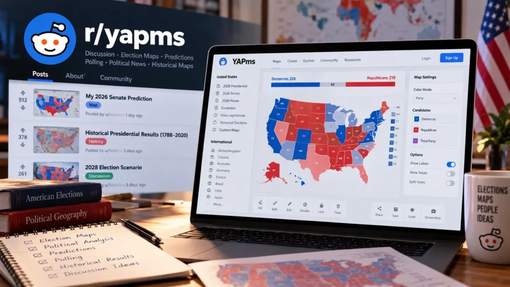
YAPms is a browser-based political mapping application designed for creating and sharing electoral maps. Its current website contains templates for national elections, state and provincial legislatures, historical results, regional maps, and several international political systems.
The platform is especially well known for United States election maps. As of October 2026, its public map library includes templates for the 2028 presidential election, 2026 Senate, 2026 House, governors, state legislatures, historical presidential results going back to the early United States, and many previous House election cycles.
YAPms is not limited to the United States. Current map categories cover countries including the United Kingdom, Canada, Australia, Germany, France, Brazil, India, Japan, Mexico, Portugal, South Korea, Sweden and others, along with European Parliament and world maps.
The software project is also publicly available on GitHub under an AGPL-3.0 license. The repository shows ongoing development activity and contains the application source code, issue tracker, discussions, and contribution infrastructure.
What People Post on r/yapms
Election predictions remain one of the clearest links between the subreddit and the mapping software. Users commonly build a map in YAPms, post the result to Reddit, and explain why they expect individual states, districts, or races to move in a particular direction.
The community’s September 2026 midterm prediction contest illustrates this directly. Participants were invited to submit YAPms maps predicting outcomes for the U.S. Senate, House and gubernatorial elections, with specific scoring rules for predicted parties and margins.
Historical mapping is another important part of the community. One substantial project posted to r/YAPms compiled county-level maps for every U.S. presidential election from 1788 through 2020, using sources including historical election publications and election databases. Another community project assembled U.S. Senate election maps stretching back to the early twentieth century. These projects show that r/yapms is used for more than future predictions. It can also function as a place for electoral-data hobbyists to share detailed historical work.
Over time, however, political discussion has become a major part of the subreddit. Current posts can include polling, candidates, election strategy, political news, ideological debates, memes and hypothetical scenarios even when the post is not primarily about the YAPms software.
How YAPms Maps Work
A typical YAPms map starts with a predefined electoral geography. A user selects regions such as states, congressional districts or constituencies and assigns colors or candidates to them.
The current interface includes fill, split, edit, disable and lock modes, candidate controls, region search, sharing tools and downloadable screenshots. Users can generate links for maps and save or load local map files.
YAPms also supports custom geographic data. Its current interface allows supported GeoJSON or shapefile data to be combined, while compatible SVG maps can also be loaded. Maps can then be exported as SVG files.
This flexibility is one reason users employ YAPms for alternate-history elections, fictional party systems and unusual geographic scenarios in addition to conventional election forecasting.
YAPms Now Has Simulation Features
The current YAPms interface includes a Simulation section with a “Simulate” control, meaning the platform is no longer limited to manually filling regions.
The feature was attracting attention on r/YAPms by October 2, 2026, when users began sharing simulated Senate and international election results and discussing how realistic the generated outcomes appeared. Those Reddit reactions should be treated as informal user testing rather than evidence that a simulation is statistically predictive.
A generated result is therefore best understood as a model or experiment within the tool. It should not automatically be interpreted as an election forecast backed by professional polling methodology.
Is r/yapms an Election Forecasting Authority?
No. r/yapms is primarily a user-generated discussion community, not an official election authority or professional forecasting organization.
A map posted there may incorporate polling, historical results or established forecasting models, but it can just as easily reflect a user’s personal assumptions. For example, a recent 2026 prediction post explicitly explained that its creator started with polling and external forecasts and then manually changed races where the author disagreed with the resulting margins.
That distinction matters when r/yapms pages appear in Google results for phrases such as “2026 Senate prediction” or “2028 election map.” A colorful YAPms map can look highly quantitative even when the underlying choices are subjective.
Readers researching an actual election should compare subreddit predictions with original polling, certified election results, state election agencies and clearly documented professional models.
Also Read: r/ukpolitics: What the UK Politics Subreddit Is and How It Works
How the Community Has Changed
Older r/YAPms discussions indicate that the subreddit was initially more centered on maps themselves. A 2023 conversation among long-time participants specifically discussed how the forum had moved away from its earlier emphasis on simply posting election maps.
That evolution is even clearer in recent activity. Election maps remain common, but the subreddit now also resembles a general election-politics community where members discuss campaigns, polling, political personalities and ideological questions.
The community’s political balance is itself debated. A user-produced 2025 analysis based on Pushshift archives argued that ideological participation had varied significantly over time, while a separate May 2026 discussion included claims from some users that the community had become less politically diverse. Neither source is an independent audit of the subreddit, so these are best treated as evidence of an ongoing internal debate rather than a settled description of its political composition.
r/yapms and the Older YAPms Website
People searching for r/yapms may encounter references to “YAPms 1,” “old YAPms” or “YAPms 2.”
The legacy YAPms site still identifies itself as a tool for creating and sharing political maps but displays a notice saying that the older website is being discontinued and directs visitors to the newer YAPms version. The archived-style interface contains U.S. elections, state legislatures, historical presidential results and international maps.
In November 2023, r/YAPms users were actively discussing the transition away from the older version, with reactions ranging from preference for the newer interface to complaints about features they believed were missing at the time.
The current YAPms has since developed considerably. Its present map library contains many historical, international, state-level and custom-map options, so criticism from early transition-period posts may no longer describe the software accurately.
How Large Is r/yapms?
The exact Reddit subscriber count changes continuously. A third-party community analytics snapshot indexed in October 2026 lists about 20,000 members and describes elections, political predictions, news, memes and polls among its recurring subjects.
That figure should be treated as an approximate snapshot rather than a permanent statistic.
Recent activity confirms that the subreddit remains active. Posts in August and September 2026 discussed midterm predictions and community history, while an October 2, 2026 thread was already discussing YAPms’s simulation feature.
Can r/yapms Be Useful for Election Research?
It can be useful as a discovery and discussion resource, particularly for people interested in electoral geography, historical maps and how politically engaged hobbyists interpret races.
Some community members build remarkably detailed projects and cite primary or specialist election sources. The historical presidential mapping project published in 2024, for example, listed resources including A New Nation Votes, historical election books, ICPSR election returns, state election reports and Dave Leip’s Atlas.
The limitation is that quality varies from post to post. Reddit does not turn a prediction into verified analysis merely because it contains a polished map.
A sensible approach is to use r/yapms to find questions, maps and potential sources, then verify consequential claims with official election agencies, original polling data, academic datasets or established election reference works.
Why r/yapms Appears in Searches for Election Predictions
YAPms makes complicated electoral possibilities visually easy to communicate. A user can turn an assumption about dozens or hundreds of regions into one understandable map and then share it with other people.
That makes the subreddit particularly suited to hypothetical questions such as how an electoral coalition could change, what a historical election looked like at county level, or how different assumptions produce different House or Senate maps.
It also explains why r/yapms results may rank for specific politicians, elections and electoral scenarios even when there is no formal relationship between the people being discussed. Search engines can index individual prediction posts, discussions and map projects just like other Reddit content.
The presence of two names, parties or candidates in an r/yapms thread therefore should not by itself be interpreted as evidence of a real-world relationship or official political connection.
Is r/yapms Safe to Use?
Browsing a public subreddit and using the public YAPms website does not inherently require treating either source as authoritative. The more important concern is information quality, especially when political predictions are involved.
Readers should distinguish between election results, polling, forecasts, simulations and personal predictions. Those categories can look visually similar on a map while representing very different levels of evidence.
Users should also remember that Reddit discussions can contain strong political opinions, jokes and unsupported claims. Claims about real people, elections or events should be checked against the original source before being repeated elsewhere.
FAQ
What is r/yapms?
r/yapms is a Reddit community focused on election maps, predictions, polling, political discussion and the YAPms mapping platform. It began with a stronger emphasis on map creation but has expanded into broader election-related discussion.
What does YAPms stand for?
YAPms stands for Yet Another Political Map Simulator. That name is used by the official YAPms project and its public GitHub repository.
Is YAPms free?
The YAPms website is publicly accessible for creating election maps, and its source code is available through a public GitHub repository under the AGPL-3.0 license. Some account-related functionality may require signing in, but basic map interfaces can be accessed publicly.
Is r/yapms only about U.S. politics?
No. U.S. elections are prominent, but both the subreddit and YAPms ecosystem include international elections. The YAPms website currently provides maps for numerous countries including Canada, the UK, Australia, Germany, France, India, Japan, Mexico and others.
Are predictions on r/yapms reliable?
They should not automatically be treated as professional forecasts. Predictions are generally created by individual Reddit users, who may use polling, historical information, external models or personal assumptions. The methodology needs to be evaluated post by post.
Can I create my own map for r/yapms?
Yes. YAPms provides interactive map templates, sharing tools, custom geographic imports and downloadable images or map files. Users commonly create maps on YAPms and then share or discuss them on Reddit.
Also Read: r/popculturechat: What It Is and How the Reddit Community Works
